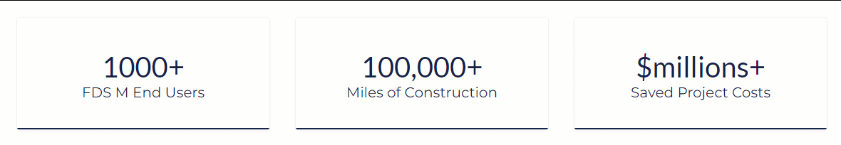
Trusted by 1000's of Companies


Welcome to FDS. FDS has been developing advance first to industry engineer mapping software since 2007.
FDS M products support the largest development firms, midstream pipeline companies, utility companies, railroad companies, highway companies, surveying companies, right-of-way companies, environmental companies, construction companies, ENR design firms, and compliance companies world-wide.
FDS M products support the largest development firms, midstream pipeline companies, utility companies, railroad companies, highway companies, surveying companies, right-of-way companies, environmental companies, construction companies, ENR design firms, and compliance companies world-wide.
FDS sales advanced engineering design construction products that are a specialized category of software's tailored to meet the complex needs of designing, planning, and constructing large-scale projects for various applications, including oil and gas pipelines, highways, railroads, water distribution, and utilities. Our software solutions offer a comprehensive suite of tools and features to streamline the entire project lifecycle process, from initial conceptualization, route planning optimization, permitting to detail design construction, as-built, operations, compliance and maintenance.
Simpler engineering design construction drawing software's that play a crucial role in optimizing the design, construction, and operation of many infrastructures, enabling engineers to deliver projects more efficiently, safely, and cost-effectively. FDS M solutions empower stakeholders to make informed decisions, mitigate risks, build more at less costs, and reduce project timelines at all vertical levels.

| |||
Case Studies & Testimonials

|
|
Simpler start-up to completion processes for automating your construction AutoCAD drawings for any 2D-3D civil and mechanical engineering design construction project. Advance route optimization sheet-mapping technology with project reporting for project lifecycle support. Supports Autodesk C3D.
|
| ROUTE MAPPER BROCHURE |
|
|
Automates your project public or RPLS plat AutoCAD drawings and GIS data management. 2D survey right-of-way management plat software for designing plat drawings faster. Cut 1 plat drawing or cut 100's of plat drawings with line table features set, attribute border set, calculations set, GIS data set, parcel line list, and is simple to learn. Supports Autodesk C3D.
|
| PLAT MAPPER BROCHURE |
|
|
Advance Surveyors plug-n-go Trimble FXL and AutoCAD-C3D construction software that auto-draws your survey tech AutoCAD-C3D drawings. Built with today's construction industry standards, codes, layers, and symbols. Includes Survey GIS Mapper for GIS data automation. Ensures longer stacking distances with simple to use codes.
|
| SURVEY MAPPER BROCHURE |
|
|
Globally capture, analyze, and edit GIS data faster from your centerline route selection in AutoCAD. Quickly import and edit GIS data, record and analyze GIS data variances, find duplicate and bad data, identify GIS data not tagged, and quality check GIS data with zoom tools. Supports Autodesk C3D.
|
| GEOSPATIAL EDITOR BROCHURE |
|
|
Personal desktop project management program for project lifecycle data management. Includes dashboard business development project reports for faster planning, live analysis, transparent reviews, measurements, daily management, survey data, procurement totals, construction/as-built, and operation communications.
|
|
Paul Reichert, one of the owners and founders of FDS says, "Our innovative engineer mapping products eliminate many project risks, speeds up planning, permitting, construction to as-built processes with full project lifecycle support, and reduces project timelines by over 50% at all vertical levels compared to general practices."
Build more my friends! |