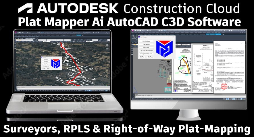
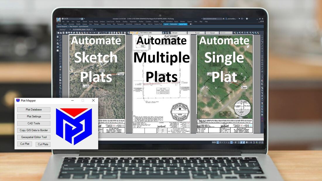
PLAT MAPPER Ai SOFTWAREExpert surveyors RPLS approved auto-design-build right-of-way plat-mapping software. Automate sketch plats, DOT plats, public plats, pipeline plats, surveyed plat exhibits and RPLS certified plat drawings with legal sheets. Includes four pre-approved RPLS plat borders with legal sheets built in AutodeskC3D. Geospatial Editor is included for GIS automation. Speeds up production levels!
|
| ||
|
SURVEY RIGHT-OF-WAY MANAGEMENTPlat Mapper design cuts one plat at a time or hundreds of plats at a time. Manages survey parcel process and survey plat drawing process. Automate plats with scaled viewport, set calculations, centerline labels, parcel line table, legal description, GIS parcel labels, line table, workspace line table, and has a batch scripter for global edits.
|
PRODUCT FEATURESPlat Mapper Ai comes with four approved RPLS plat border templates, detail sheet, legal sheet, annotative parcel labels, color table, excel support, directory structure support, map projection technology and a CAD Toolbox with extra support features. Includes the Geospatial Editor for GIS data management and the best communications.
|
|
Trusted by 1000's of Customers
