Pipeline Project Software
Built for, project managers, engineers, construction managers, manufacturers, centerline routing experts, procurement officers, measurement volume flow experts, and designers.
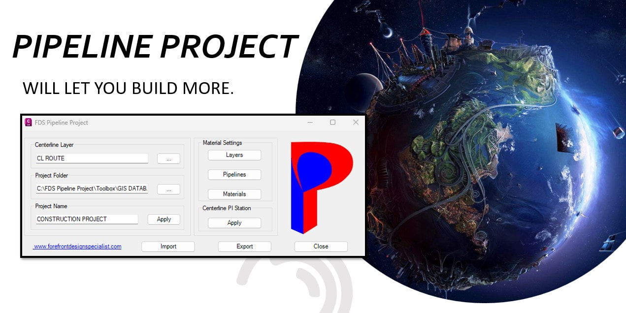
Pipeline Project Overview
Instantly set all pipeline material specifications, installation procedures, crossing methods, operation conditions, class locations, environmental conditions, DOT-PHMSA-FERC codes, manufacturer, survey, and all owner information along the centerline route. Globally control all lengths for pipeline crossing methods.
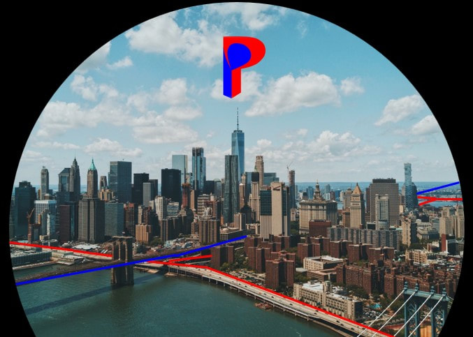
Pipeline Project Toolbox
Pipeline project program comes with many extras, maps setup for all USA, and UTM Zones to provide instant imagery for your projects. Then FDS added to all the UTM Zone maps, existing historical data for county, state, roads, highways, railroads, waterways, and Wi-Fi towers.
Built for, project managers, engineers, construction managers, manufacturers, centerline routing experts, procurement officers, measurement volume flow experts, and designers.
Pipeline Project Overview
Instantly set all pipeline material specifications, installation procedures, crossing methods, operation conditions, class locations, environmental conditions, DOT-PHMSA-FERC codes, manufacturer, survey, and all owner information along the centerline route. Globally control all lengths for pipeline crossing methods.
- Quick routing constructability investigations
- Quickly analyze specified layers of crossings along the centerline route, and with GIS data
- Quickly setup all pipeline material specifications for: open cut, bore, and hdds
- Quickly set all pipeline materials along the centerline route
- Fast centerline station, XY, length, deflection angle, B&D report
- Fast pipeline materials quantified totals report
- Fast crossings volumes report for dialog
- Fast volume totals report for expected commissions
- Instantly zoom to any pipeline materials, and crossings along the centerline route
- Instantly reset all pipeline materials along the centerline route
- Autoset PI-station labels along the centerline route for review and KMZ support
- Import and export any kind of data
- Reads and writes GIS data.
Pipeline Project Toolbox
Pipeline project program comes with many extras, maps setup for all USA, and UTM Zones to provide instant imagery for your projects. Then FDS added to all the UTM Zone maps, existing historical data for county, state, roads, highways, railroads, waterways, and Wi-Fi towers.