|
|
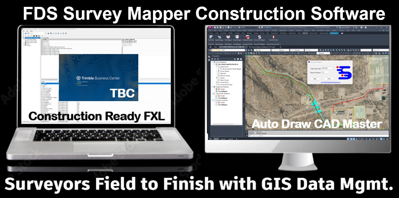
Survey MapperAdvance Surveyors plug-n-go Trimble FXL and AutoCAD-C3D construction software that auto-draws your survey tech AutoCAD-C3D drawings. Built with today's construction industry standards, codes, layers, and symbols. Includes Survey GIS Mapper for GIS data automation. Ensures longer stacking distances with simple to use codes.
|
| SURVEY MAPPER BROCHURE | |
| File Size: | 2773 kb |
| File Type: | |
SURVEY MAPPER TOOL
Expert turnkey professional surveyors field to finish auto-draw model construction and as-built software. Built for Trimble TBC and AutoCAD Civil 3D software with today's construction industry codes-standards for quicker deliverables. Mark your data quicker in the field with longer daily ranges. Survey GIS Mapper software comes with SM to automate GIS data management. Get strategic and build more!
| SURVEY MAPPER BROCHURE | |
| File Size: | 3312 kb |
| File Type: | |
SURVEY MANAGEMENTComes with construction and as-built tools, survey management plan, survey finish tool, working Trimble FXL code library for TBC, AutoCAD C3D survey database template, survey equipment database, description key sets, linestyles, linetypes, point styles, point labels, smart GIS layers and blocks.
|
Survey GIS Mapper comes with Survey Mapper! Automate your Cogo Points into GIS data instantly attached to your linework and blocks.
SOFTWARE LICENSE$2,500 US Dollars
Full Ownership of Software Non-Subscription Software Licensing (No SSL Dues) Supports Trimble TBC and AutoCAD Civil 3D Software's |
SUPPORTS
TRIMBLE TBC & AUTOCAD CIVIL 3D SOFTWARES
© 2025 - All Rights Reserved - Forefront Design Specialist, LLC


